Authors: L. Idà, L. Longobardi
Download article as .pdf: Considerazioni sulle attività di spoliazione presso le mura di Siracusa: modi d’uso e percorsi della pietra
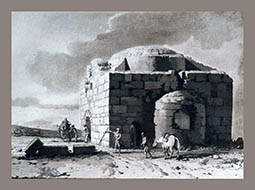
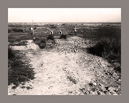
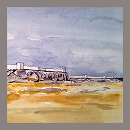 L’intento di questo contributo è accennare alle attività di spoliazione avvenute presso le mura dionigiane di Siracusa a seguito di ricerche condotte in una porzione delle fortificazioni stesse, nell’area tradizionalmente nota come Scala Greca. In primo luogo si elencano alcuni elementi tecnici che si muovono a favore di processi di abduzione della pietra dalla cinta; inoltre, si offre una descrizione del territorio prospiciente le mura di Siracusa, dove la relazione tra la balza dell’Epipoli e il pianoro sottostante, fino al margine costiero, presenta caratteristiche ideali per movimentare i blocchi lapidei sottratti alla fortificazione dionigiana. Infine, vengono valutate le fonti cartografiche storiche che, con il loro patrimonio di toponimi e fatti, oltre a costituire un valido supporto per ricostruire le opportunità economiche della costa orientale della Sicilia in recenti studi, consentono in questa sede di valutare la potenzialità del litorale ed il coinvolgimento di esso nei processi di trasferimento della pietra.
The aim of this paper is to mention the spoliation activities that took place at the Dionysian walls of Syracuse because of researches conducted in a portion of the fortifications , in the area traditionally known as Scala Greca. First of all, it is listed some technical elements that support the process of abduction of the ashlars from the walls; furthermore, it is offered a description of the area facing the walls of Syracuse, where the relationship between the Epipoli cliff and the plateau below, up to the coastal margin, shows ideal characteristics for moving the stone blocks taken from the Dionysian fortification. Finally, historical cartographic sources are evaluated which, with their heritage of toponyms and facts, in addition to constituting a valid support for reconstructing the economic opportunities of the eastern coast of Sicily in recent studies, allow to evaluate the potential of the coastline and its involvement in stone transfer processes.